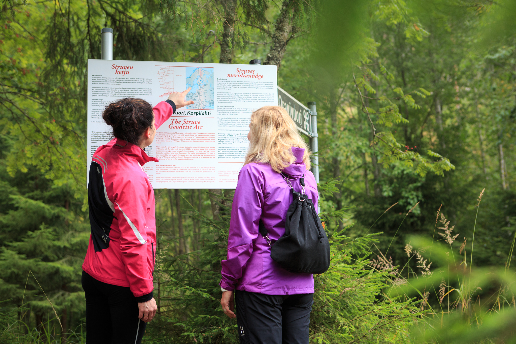
Oravivuori Nature Trail and Lookout Tower
The Oravivuori trail leads to the top of Oravivuori hill in Korpilahti’s Puolakka, where one of the survey points of the famous Struve Geodetic Arc, part of the UNESCO World Heritage List, is located.
Description
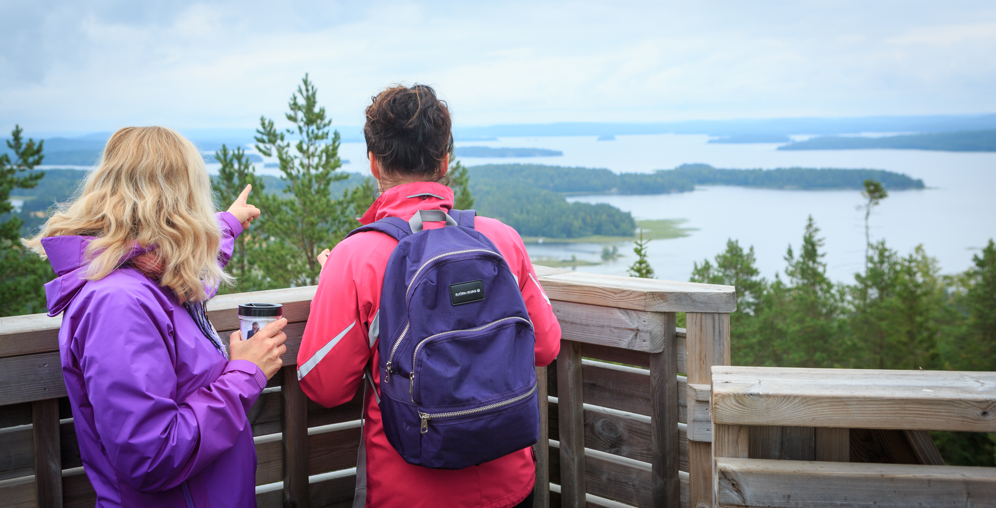
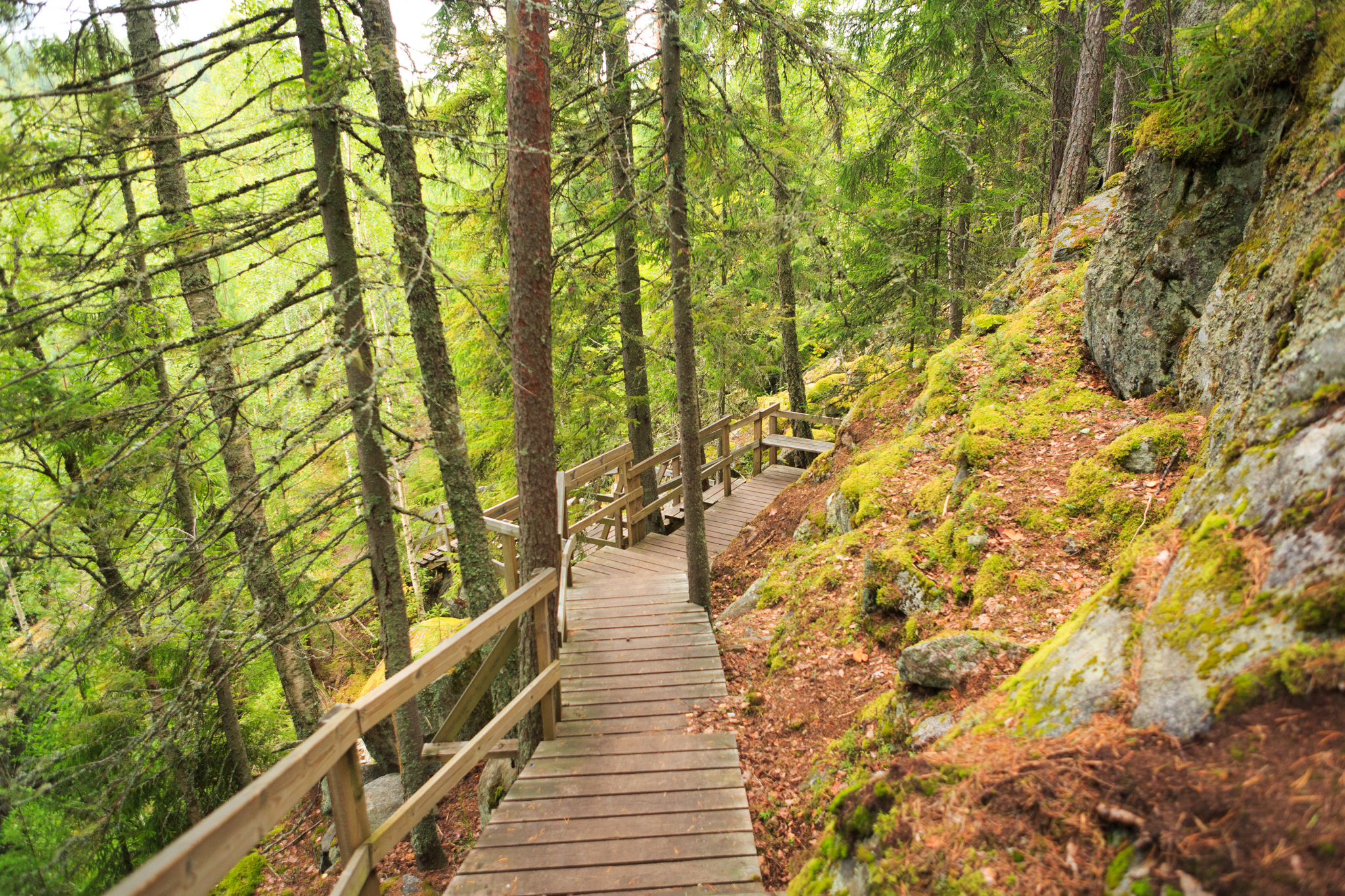
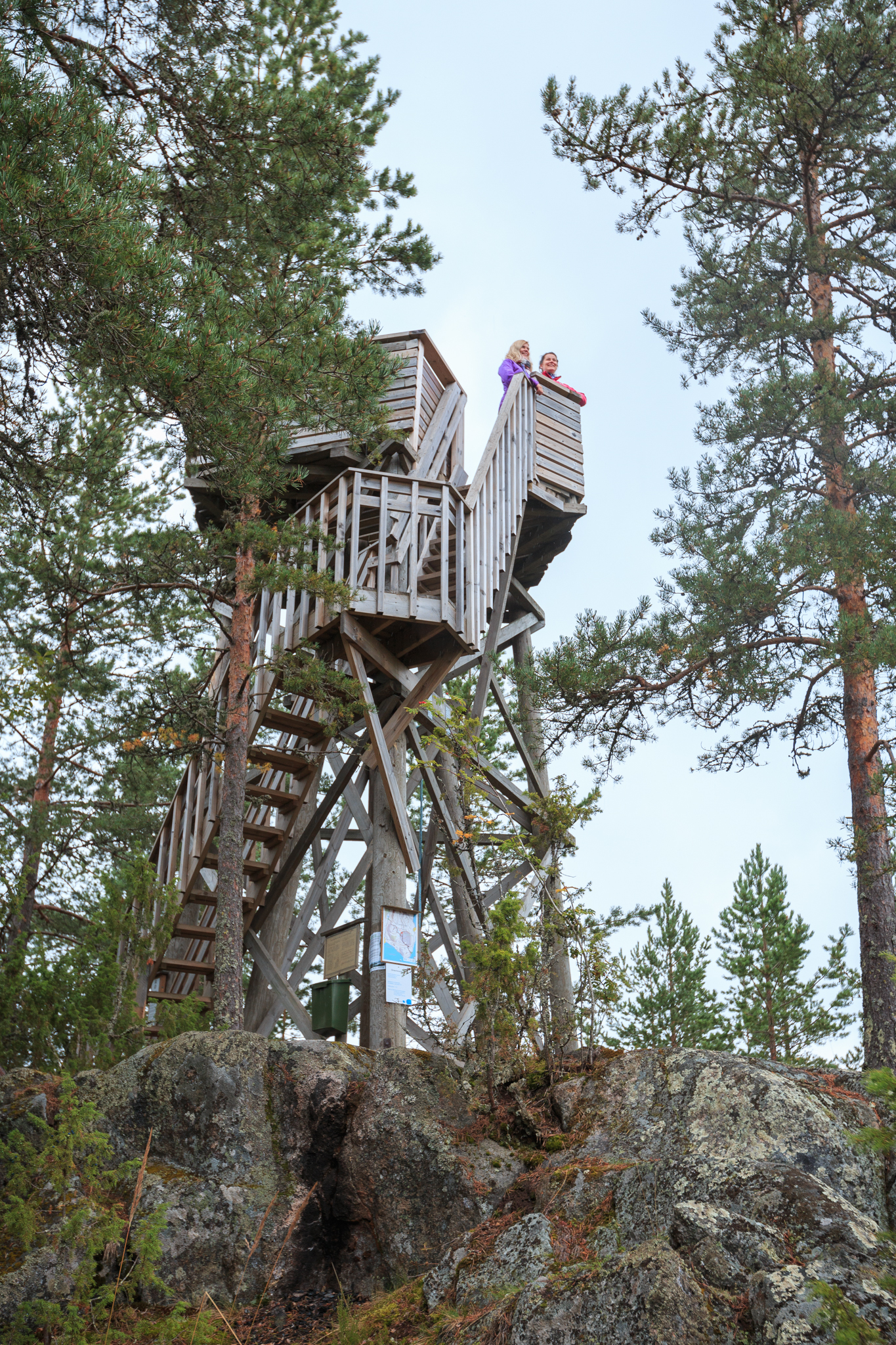
At the top of Oravivuori, there is a triangulation point that highlights the significance of Oravivuori, also known as the Puolakka measurement station, for the mapping of Finland. The trail to the top of Oravivuori is about one kilometer long and ascends a sometimes steep and rocky slope. From the lookout tower, there are stunning views of Lake Päijänne.
ARRIVAL AND PARKING
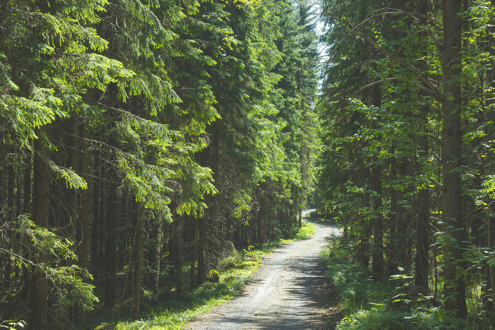
The starting and parking area for the nature trail is located along Vanhanpääntie, at the address Vanhanpääntie 51. Parking space is limited. The site is not accessible by public transportation, only by private car or taxi. The nearest bus stop is along Highway 9 (E63), about 8.5 km from the start of the trail.
WINTER MAINTENANCE
The trail is not maintained during the winter, so caution and appropriate equipment for the conditions are recommended during the winter season.
You can also explore the site virtually via browser or mobile app: https://struve.humak.fi/koe-struve-experience/
More information
Duration
1 - 2 hours
Route's length km
1.61
Surface material
Soil