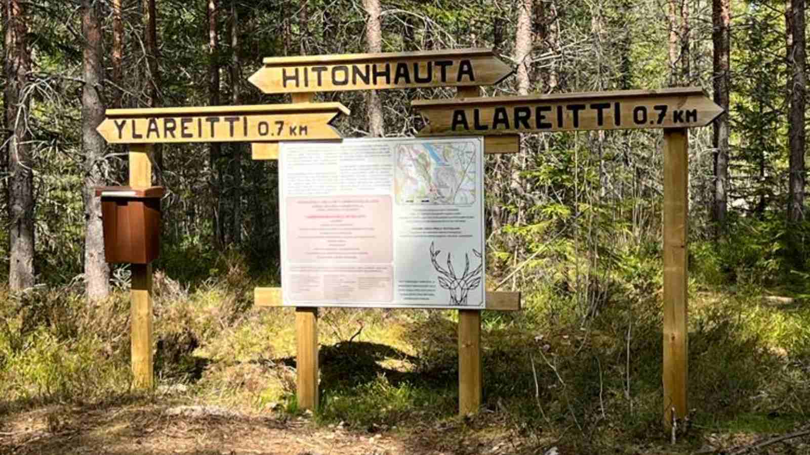
Hitonhauta in Sumiainen 0,7km
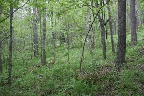
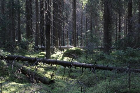
Hitonhauta in Sumiainen is a signposted outdoor destination featuring a rock wall and a gorge.
The lower trail in this destination allows the hiker to descend to the bottom of the gorge to look up the impressive rock wall, and the lower trail is definitely worth taking for its views of the steep rocky faces and the gorge that sinks dozens of metres below the crest of the hill. The bottom of the gorge is filled with mossy boulders and a blissful silence. Those taking the upper trail can directly ascend the Hitonhauta hill to enjoy the view. This trail is considerably easier to traverse than the gorge. A campfire spot is in the area. Bringing your own firewood is recommended.
Driving instructions: In Sumiainen town, turn off Sumiaisraitti street onto Savolantie road and drive for about 2.5 kilometres.