Distance to the target from Kompassinaukio in Jyväskylä
Driving time 40 min.
Address
Haapasaarentie 14
40820Jyväskylä
Weather at destination:
Lämpötila:
9.8°C Bright, klo 03:30
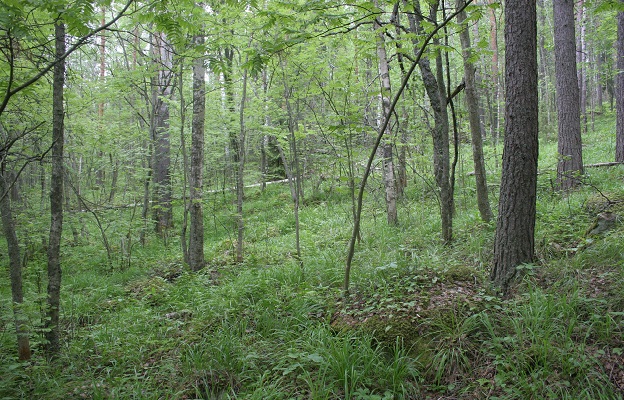
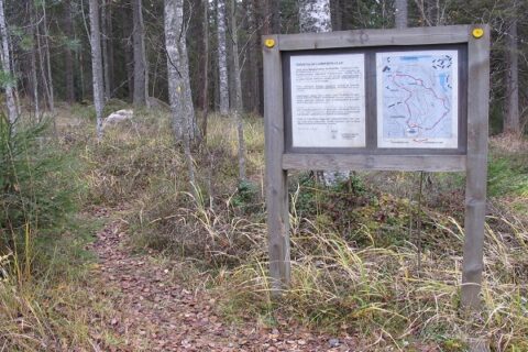
Haapasaari Nature Trail 2,7km
Haapasaari is a narrow island approx. 1 km long, connected to Haapaniemi peninsula in Vaajakoski. The highest point on the island is 25 metres above the water level of Lake Päijänne. The nature trail runs 2.7 km around the island through the herb-rich coastline and deciduous forests and ascends to the highest point covered with rocky pine forest.
Museum centre for the new generation. Aalto2 is a unique meeting place for architecture, design and cultural heritage in Jyväskylä....
Read more from destination Aalto2
GreenStar Hotel Jyväskylä offers cost-efficient accommodation with the best comfort. When choosing to stay with us, you make a responsible...
Read more from destination GreenStar Hotel