Oravivuori Nature Trail and Triangulation Tower 1km
Address
Vanhapääntie 51
41800 Jyväskylä
Sää kohteessa:
Lämpötila: 7.1°C Cloudy, klo 17:33
Oravivuori Nature Trail and Triangulation Tower 1km
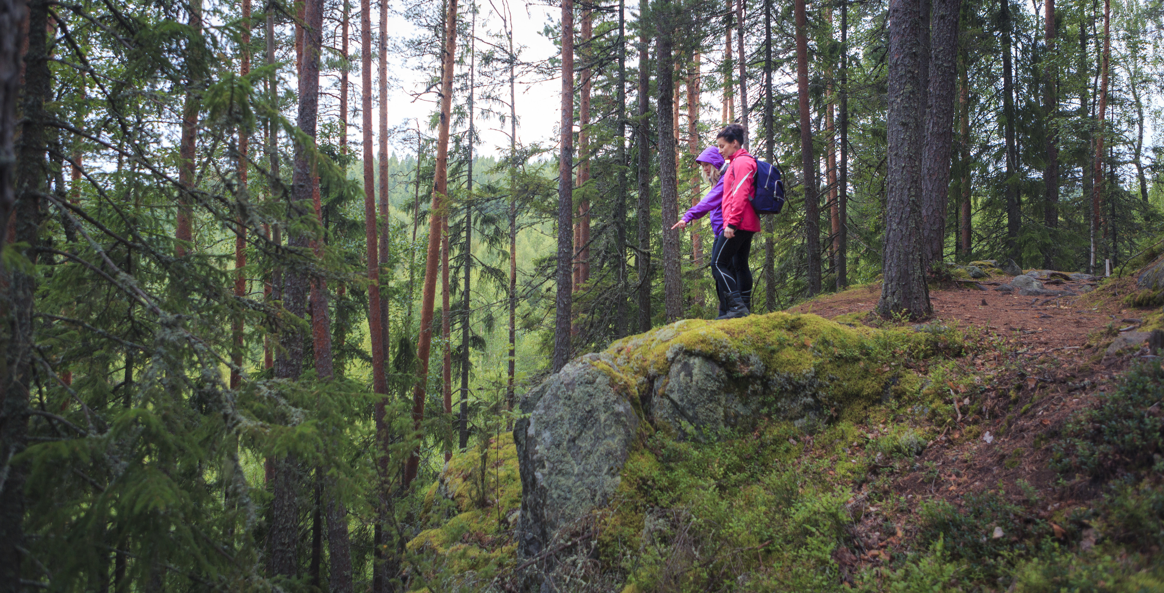
The Oravivuori trail leads to the top of Oravivuori hill in Korpilahti’s Puolakka, where one of the survey points of the famous Struve Geodetic Arc, part of the UNESCO World Heritage List, is located. The impressive triangulation tower on the summit of the hill is a sign of the significance of Oravivuori, and Puolakka measuring station, in the mapping of Finland. The path leading to the top of Oravivuori is about 1 km long and the rocky slope is quite steep in places. The views from the triangulation tower out over Lake Päijänne are beautiful.
The starting point and the parking lot are located on Vanhanpääntie road and they are accessible by car or taxi. However, the possibilities for parking are limited. Get more information of the local taxi company JYTAKSI. You can check the fixed taxi prices (in Finnish) here.
More information
Location and arrival
Departure to the nature trail is from the parking lot at Vanhanpääntie 51. The path and observation tower can also be reached by boat, by landing in Omenalahti's natural harbor, where you can find a path to the mountain near the sea cairn.
Parking
Vanhanpääntie 51. Room for approximately 5-10 cars.
Winter maintenance
No winter maintenance! Caution is advised during the winter months.
Starting point/end point
The starting point and the parking lot are located at Vanhanpääntie 51 and they are accessible by car or taxi. However, the possibilities for parking are limited. Get more information of the local taxi company JYTAKSI on https://jytaksi.fi/en/.
Coordinates
ETRS-TM35FIN N 6867283, E 422538.
Route length
The trail to the tower is approximately 1 km. Allow 1-2 hours to complete the trail. There are stairs to make the steep climbs easier.
Structures
The route is marked with sign posts.
Lapp hut or camp fire
There is a triangulation tower and a picnic table on the top of Oravivuori. Making a fire is strictly prohibited.
Distance of the parking place
Approximately 1 km
Target´s maintenance
City of Jyväskylä (structures) and National Land Survey of Finland (signage)
Others from the same position


Craftsmen’s museum and Sparvin Museum shop

Kanavuori Hill & Kanavuori Nature Trail 3,4km


