Open
The site is officially open from 1 May to 31 October.
Location and arrival
Departure to the nature trail is from the parking lot at Vanhanpääntie 51, which is accessible by car or taxi.
Parking
Vanhanpääntie 51. The parking lot has space for 10 cars and one bus.
Winter maintenance
No winter maintenance! Caution is advised during the winter months.
Starting point/end point
The starting point and the parking lot are located at Vanhanpääntie 51 and they are accessible by car or taxi. Get more information of the local taxi company JYTAKSI on https://jytaksi.fi/en/.
Coordinates
ETRS-TM35FIN N 6867283, E 422538.
Route length
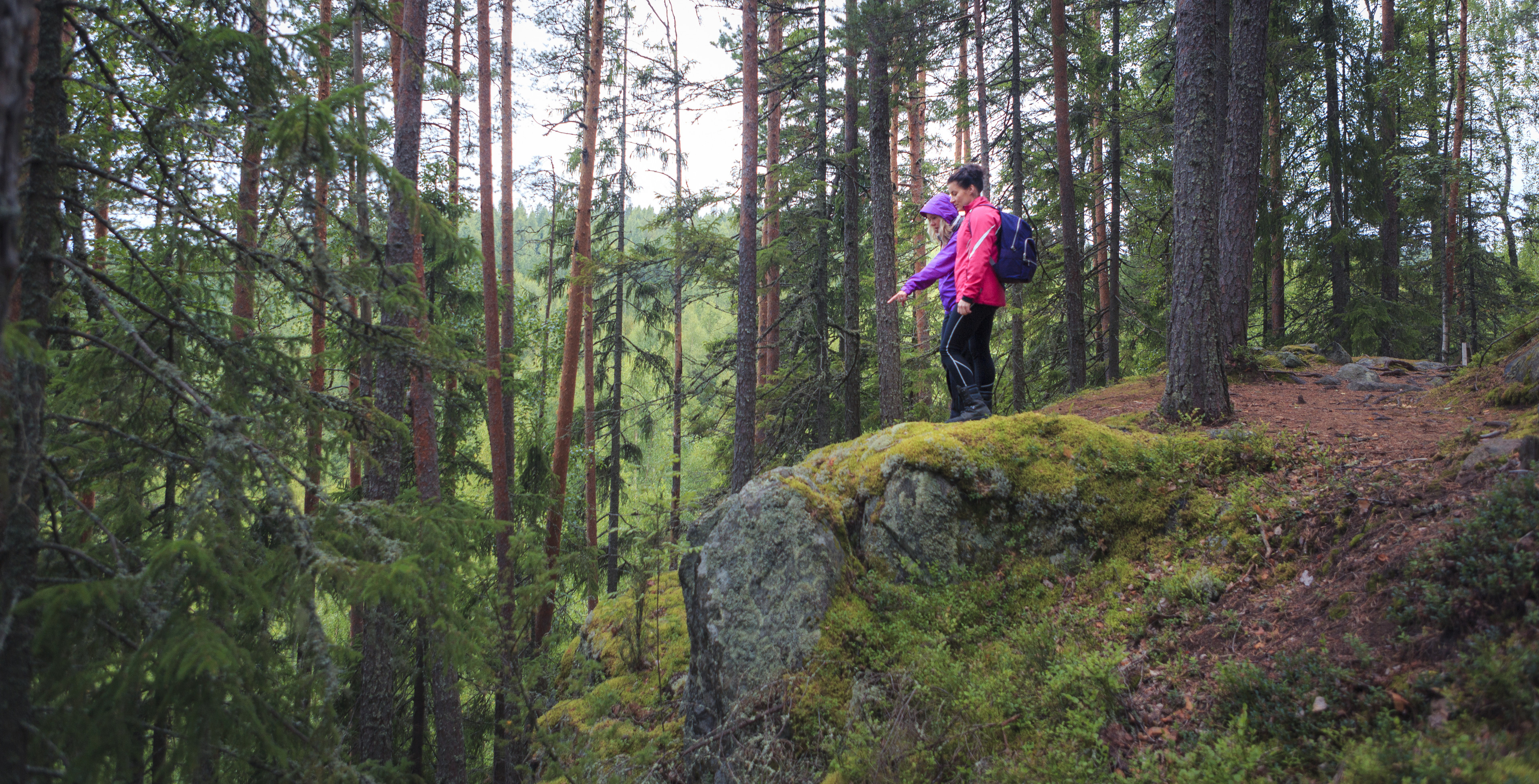
The trail to the tower is approximately 1 km. Allow 1-2 hours to complete the trail. There are stairs to make the steep climbs easier.
Structures
The route is marked with sign posts. The main directions can be found under the roof of the maintenance building, but there are also directions along the route (QR code and map).
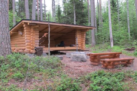
Lapp hut or camp fire
There is a observation tower and a picnic table on the top of Oravivuori. Please note that open fires are prohibited in the route area.
Distance of the parking place
Approximately 1 km
Target´s maintenance
City of Jyväskylä (structures) and National Land Survey of Finland (signage)