Struve Geodetic Arc: Oravivuori Arc Point
Oravivuori arc point is a part of Struve Geodetic Arc. The Struve Geodetic Arc was accepted into the Unesco World Heritage List in 2005. It represents the cultural heritage of science and technology.
The Struve Geodetic Arc was laid out and measured in 1816-1855 with the aim of determining the size and shape of the Earth. The Struve Geodetic Arc is a chain of survey triangulation measurements stretching from the Arctic Sea to the Black Sea, through ten countries and over 2,820km. Six stations points are located in Finland.
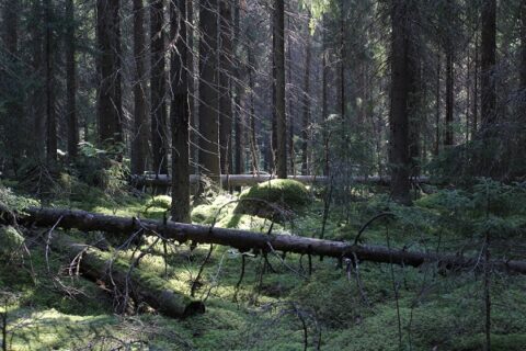
The point of the Struve Arc Puolakka is located at the top of Oravivuori in Korpilahti. It is the most famous of the Finnish Struve Geodetic arc points, because it is located at the top of a hill and there are beautiful views to the lake Päijänne. On this spot a triangulation tower has been erected to commemorate the importance of the Oravivuori (or Puolakka) measuring station to the mapping of Finland.
Read further information of Oravivuori nature trail. Please note that open fires are prohibited in the route area. The starting point and the parking lot are located on Vanhanpääntie road and they are accessible by car or taxi. Get more information of the local taxi company JYTAKSI and see their fixed price journeys (in Finnish).