Pets welcome
Pets must be kept on a leash.
Location and arrival
The Jääskelä nature trail is most easily accessible by car. You can also reach it by bike (17 km from Jyväskylä city center) or by the local Linkki bus on weekdays. From the Jääskelä E bus stop, it is about 1.8 km to the start of the nature trail. Check the schedules: https://jyvaskyla.digitransit.fi/
Parking
Small parking area at Jääskeläntie 169.
Winter maintenance
No winter maintenance
Starting point/end point
The starting point and car park are on Jääskeläntie.
Coordinates
ETRS-TM35FIN N 6895333, E 441671.
Route length
5 km. Allow several hours to complete the trail. You can complete the trail in parts; the Tontunvuoret route is 3 km long and is indicated by signposts from the car park; the second option is the 4 km Sammalistonkallio trail.
Structures
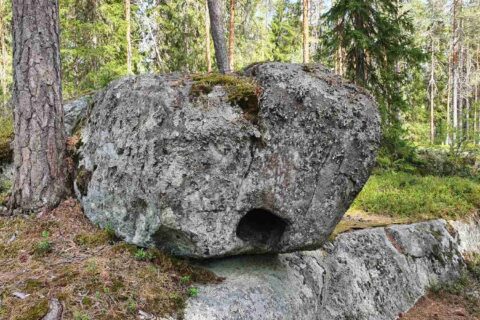
There are 17 information boards along the trail. The route is marked with paint markings and sign posts.
Lapp hut or camp fire
There is a campfire place by Lake Päijänne along the nature trail.
Target´s maintenance
City of Jyväskylä