Pets welcome
Pets must be kept on a leash.
Location and arrival
Parking space: Rautsillantie 4, 41710 Rutalahti. If arriving from Toivakka, take a right turn at the former Koskikara school towards Kyläranta, the parking spot is on the left side of the road.
Parking
Rautsillantie 4, 41710 Rutalahti
Winter maintenance
No winter maintenance.
Starting point/end point
The trail starts at Rutalahti at the former Koskikara school (street address: Koskelantie 128). The trail is marked with blue paint markers.
Coordinates
N=6874001.000, E=446399.000
Route length
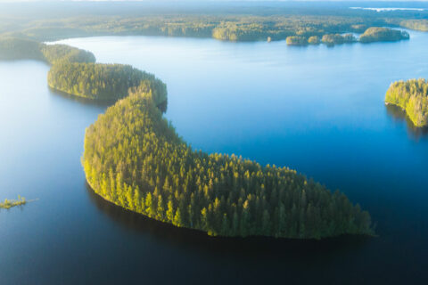
The route is about 3.5 kilometres in length. The trail traverses varying forest terrain, and hiking all the way will take at least a few hours.
Structures
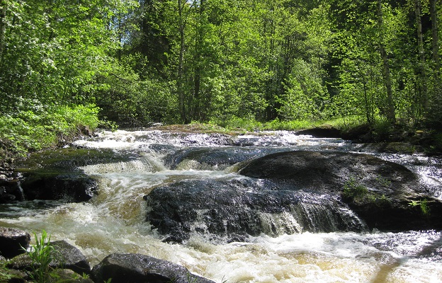
The trail features boarded pathways and wooden bridges which may be slippery in wet weather. In the winter and during the springtime flooding season, crossing the Rutajoki river using the bridge in the first stretch of the trail may be impossible, in which case this section of the trail will be closed. Along the trail, you will find signposts with details about the local nature.
Target´s maintenance
The nature trail is maintained by Metsähallitus.