Kanavuori Hill & Kanavuori Nature Trail

Distance to the target from Kompassinaukio in Jyväskylä:

11 min.


40800 Jyväskylä

Paikallinen sää

Lämpötila: 10.4°C Cloudy, klo 02:53

Kanavuori Hill & Kanavuori Nature Trail

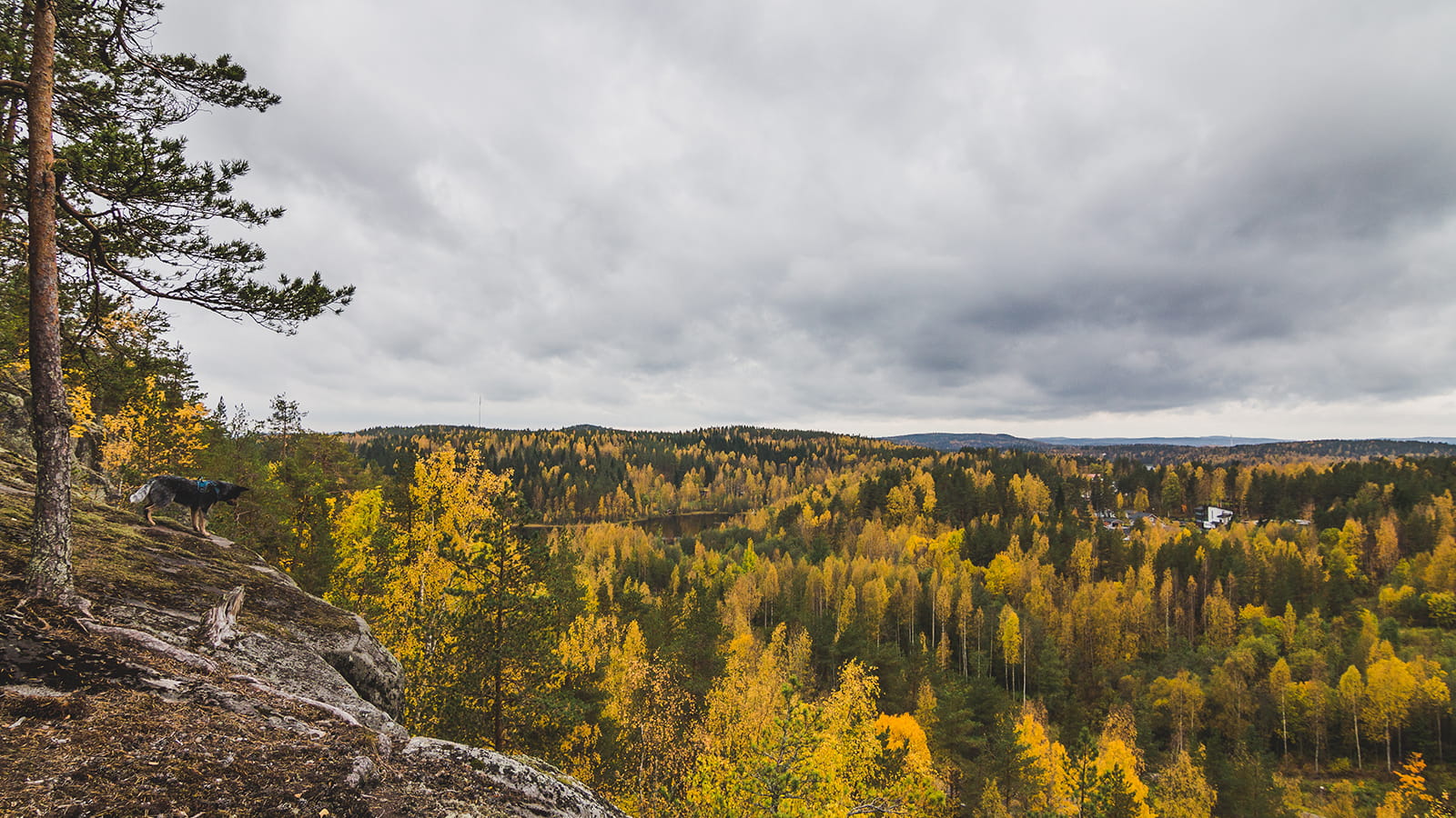
Rising to a height of almost 200 meters, the steep-walled bare rock Kanavuori is an impressive sight. From the top of the hill there are magnificent views over Lake Päijänne and Lake Leppävesi, as well as over the culturally and historically valuable Naissaari area.

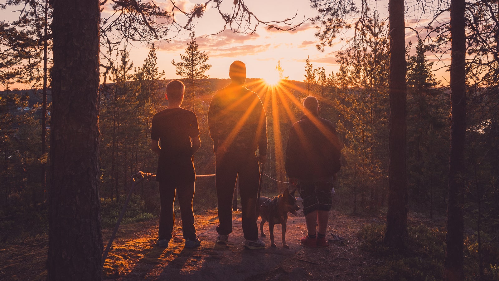
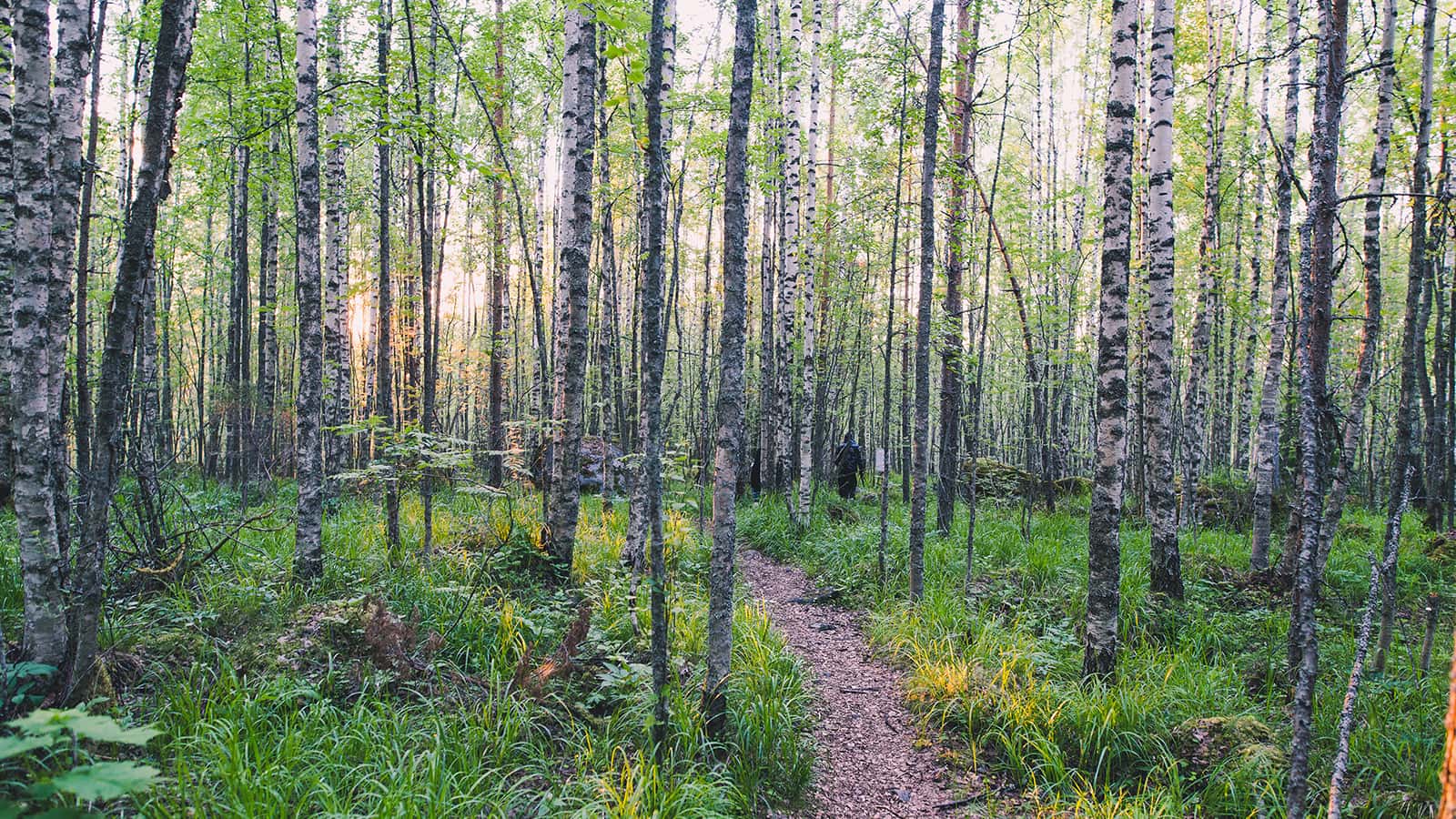
The nature trail leading to the top of Kanavuori is in some places very difficult and steep.  For safety reasons, the trail is only accessible when there is no snow and ice, because in winter the trail can be dangerously slippery.  It takes about two hours to walk the route.  No open fires are allowed in the area.

Kanavuori is located in Vaajakoski, about a 10-minute drive from the centre of Jyväskylä.  Park your car in the Naissaari parking lot. You can also reach Kanavuori by public transport or by bike.


Starting point/end point

The starting point of the nature trail is located at Etu-Kanavuorentie 1.

Coordinates

ETRS-TM35FIN N 6901435, E 442472.

Route length

Allow 2–3 hours to complete the trail. The ascending section of the trail is steep and challenging in places, but once on top of the hill, the terrain is relatively easy to walk. There are stairs and rope railings to make the climb easier.

Structures

There are 17 information boards along the trail. The route is marked with paint markings.

Distance of the parking place

Park your car on the Naissaari parking lot and then walk about 700 metres to the starting point of the nature trail.

Target´s maintenance

Metsähallitus

Others from the same position