Outdoor pursuits

Petäjävesi
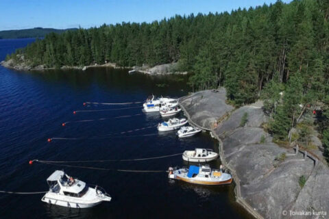
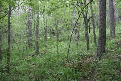
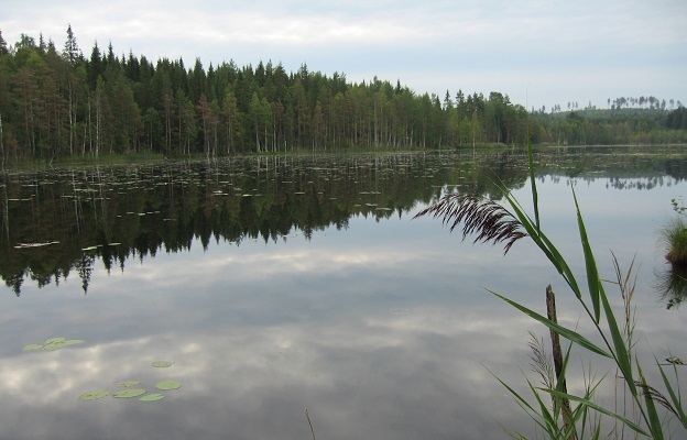
Karhunahas 0,6km
Karhunahas is located in Töysänperä, Petäjävesi. The place is an ancient haunt of bear hunters, where they would run and...
Read more from destination Karhunahas 0,6km
Read more →