Laulavan Mörön polku Nature Trail 19km
The Laulavan Mörön polku (Mörköpolku) is a nature trail in Äänekoski, stretching a total of 19 kilometres. The trail runs through the villages of Syvälahti, Lohilahti and Vihijärvi, and along the way there are plenty of wooded heaths, lake views and ridges; climbing these ridges offers the chance to admire views of the distant forest.
The name of the Laulavan Mörön polku trail comes from its end points. The viewpoint at the northern end of the trail is Laulumäki, situated on the shores of Lake Keitele, whilst in the south the trail ends at Mörönkoski.
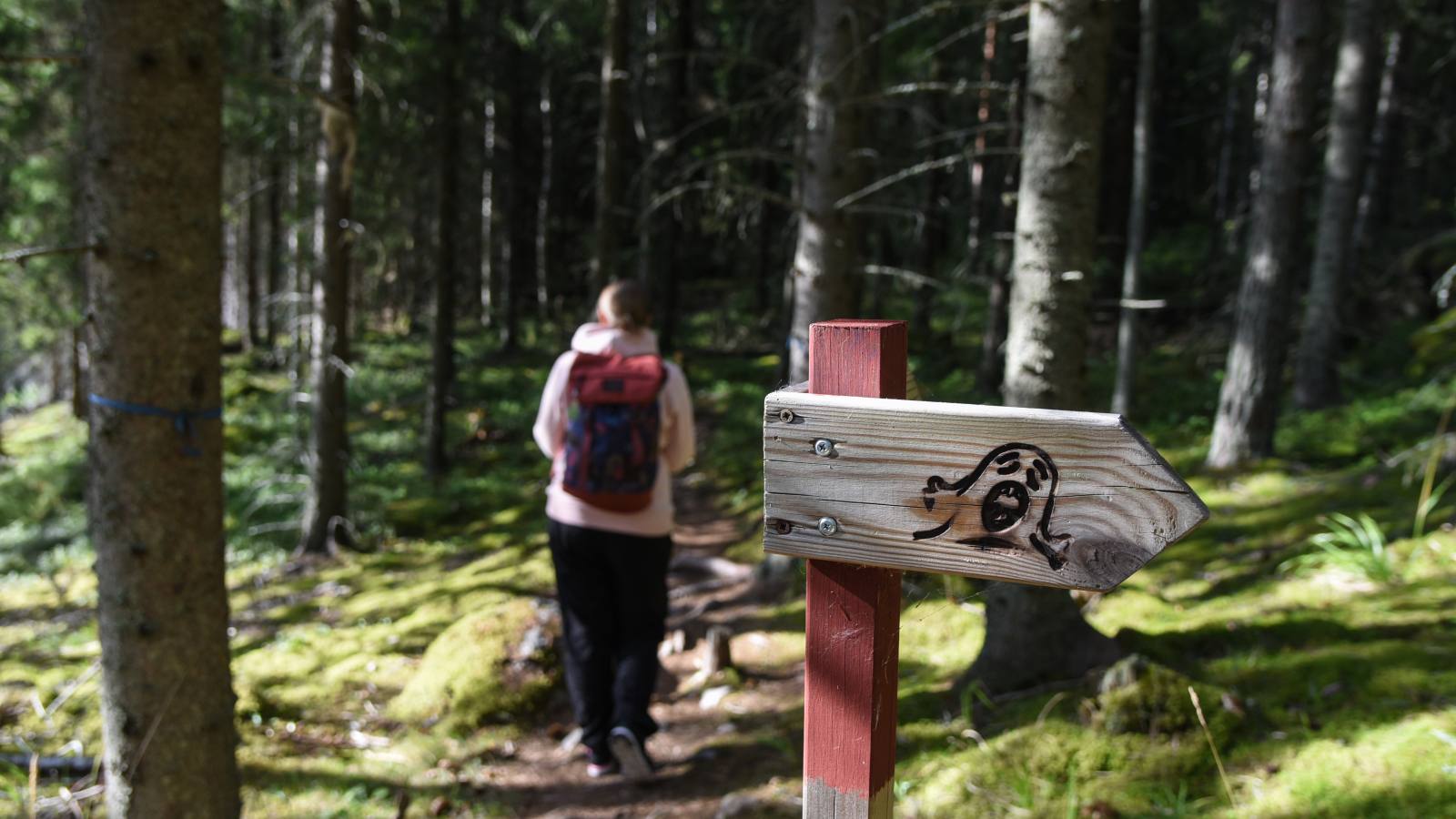
The trail is signposted with ‘Mörkö’ signs and red dots marked on the trees. The trail map also shows intersecting paths for shorter walks.
You can set off on the trail from the following locations, for example:
- Camp Centre, Syvälahdentie 245, 44260 Vihijärvi (The Camp Centre serves as one possible starting point.)
- Sumiaistentie 837 (The car park has a map and information board, as well as signposts for the southern and northern sections of the trail.)
- Sairaalakatu car park (The route starts from Sumiaistentie (road 6450). From the Sairaalakatu car park, the route continues for approximately 600 metres along a forest track, after which signposts direct you to Mörkökoski.)
- Syvälahdentie 454 (The car park is situated along Syvälahdentie. The car park has been moved to a gravel mound by the roadside. From the car park, walk about 150 metres along the main road to the left; the start of the path is at the junction by the old school. Do not enter the school grounds, as the building and grounds are privately owned.)
- Vihijärvi / Pilkankorventie (There is a connecting path from Pilkankorventie to the Väliharju hut.)
You can also reach the trail from Suolahti via the connecting path to Mörkökoski.
Click here for a more detailed route description of the trail.