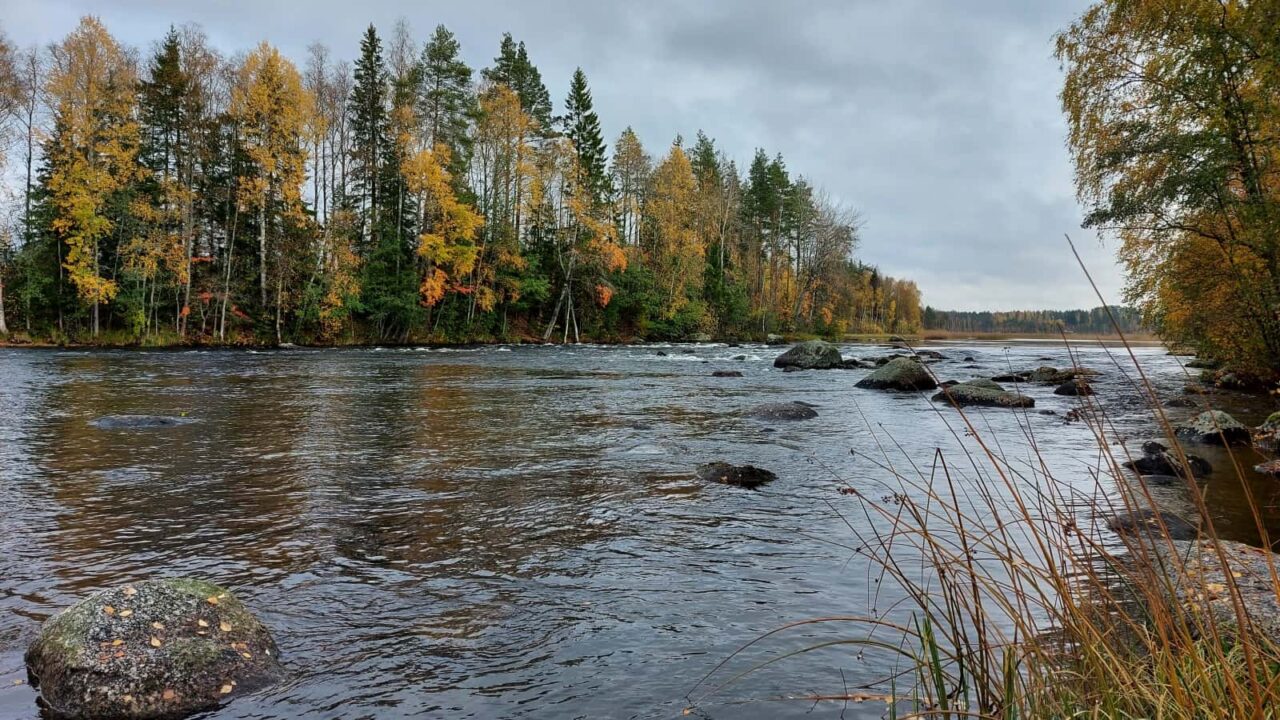
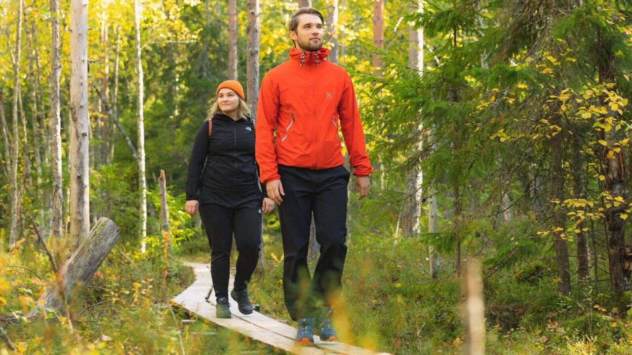
The nature trail meanders through the cultural landscape of Kärkkäälä village and near the banks of Korholankosket rapids from Hannulankoski to Keskisenkoski. Korholankosket rapids are part of the Rautalampi Water Way Route. The banks around the rapids are protected under the Shore Conservation Programme and the water bodies as part of the Natura 2000 network. The trail runs approx. 2 km, introducing the hikers to reedbeds around the rapids and flooded forests, as well as the history of Kärkkäälä village. Wet passages are covered with boardwalks. There are lean-to shelters at Keskisenkoski and Hannulankoski.
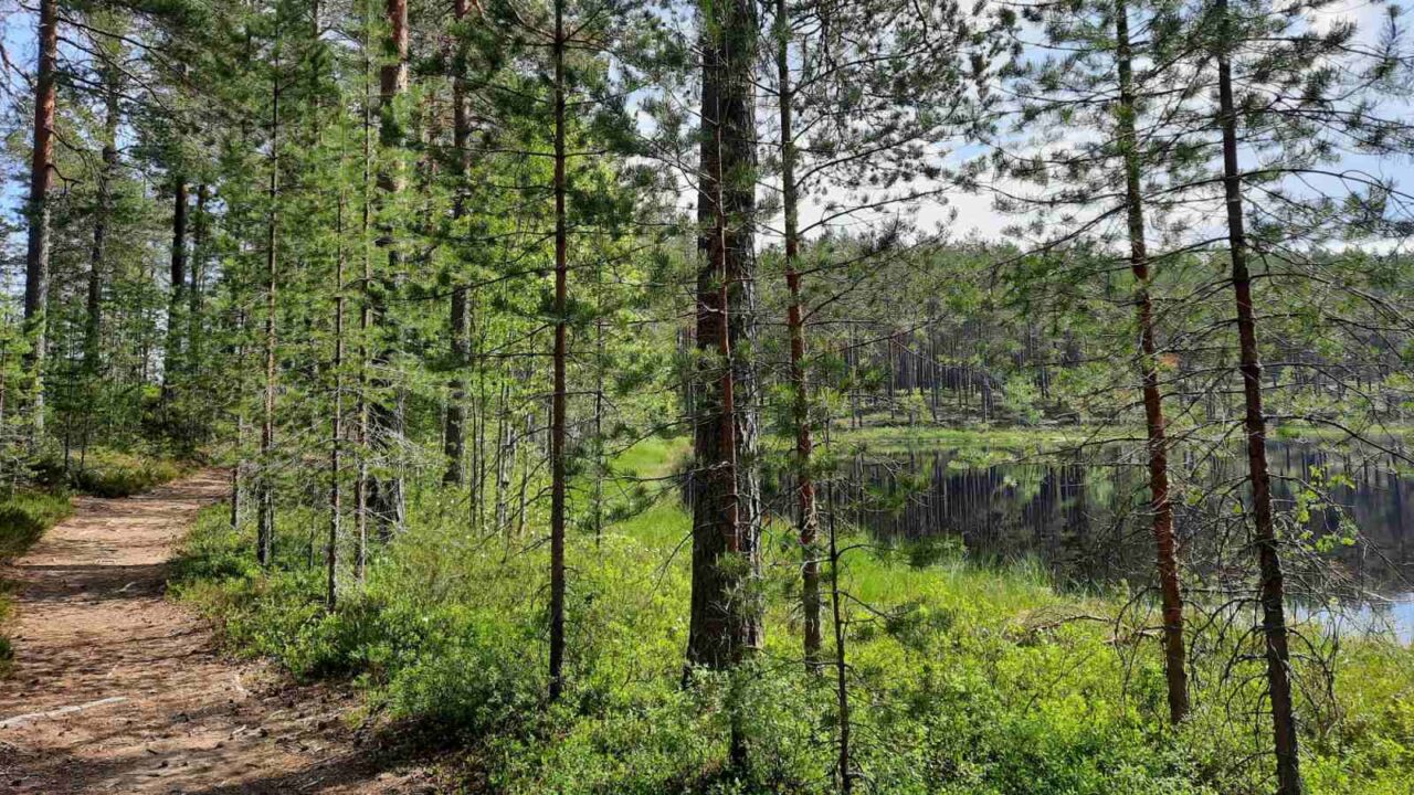
The Huutoniemi Nature Trail is located by Lake Kyynämöinen, approx. 2 km from the village of Kyynämöinen. The 1.8 km trail runs through a pine woodland with beautiful views over the lake. The Huutoniemi farm is a public recreational area and the buildings are owned by the municipality of Uurainen.
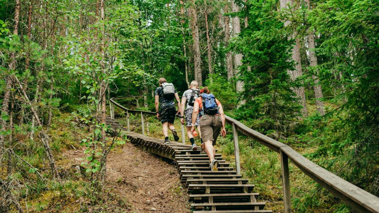
Konttivuori Nature Trail is located approx. 1 km from the village of Höytiä. The trail follows the edge of the rocky hill of Konttivuori past the Konttivuori nature reserve, which was established in 1993. The path ascends through a shaded spruce forest to the rugged terrain of an old pine forest and continues to a lean-to shelter located beneath the dramatic cliffs.
Esan Petäjä Nature Trail leads to an ancient pine tree, protected as a natural monument under the Nature Conservation Act. The length of the nature trail is 0.5 km.
Karhunahas is located in Töysänperä, Petäjävesi. The place is an ancient haunt of bear hunters, where they would run and trap the bears in a cave in the canyon. It is an impressive and rugged piece of ancient forest with a ravine, through which, at its foot, a tranquil river runs. There is a signposted 600 m path to Karhunahas with boardwalks.
The Muuramenjoki River runs from Lake Muuratjärvi into Lake Päijänne through the Muurame municipal centre. Muuramenjoki River is 1.5 km long with gentle rapids and a height difference of 12 metres. Muuramenjoki River is also very popular among anglers.
Tamppi Trail is a 3 km nature trail running through Teerinjärvisuo bog in the southwestern part of Petäjävesi. The trail leads through a mire growing miniature pines and thickets to the campfire place by Lake Teerijärvi. Teerijärvensuo is a habitat where internationally significant research on the mating of the black grouse has been conducted.
Laajavuori Nature Trail is located in the Laajavuori ski and outdoors resort and runs through a varied forest terrain. Approx. 4 km long, the trail runs mainly through spruce forests, with rocks and small bogs adding interesting variation. The path was serviced and realigned to run along a more attractive and safer route on the western side of the ski slopes.
The Multamäki Nature Trail is located on the western slope of Multamäki hill, which stands on the northeastern shore of Lake Peurunkajärvi, in the northeastern part of Laukaa. The 2,3 km trail leads to the top of Multamäki hill with sweeping views out over Lake Peurunkajärvi.
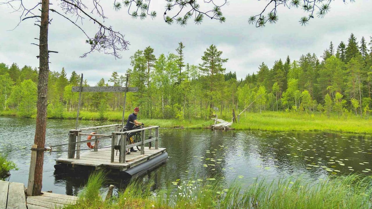
Nyrölä Hiking Trail runs through a varied forest landscape and on the marshy shores of Lake Iso-Musta. The trail also runs past the artificial pond of Saparo. The hiking trail is 3.6 km long, and its high point is an island with a lean-to shelter, which can be reached by crossing the dark waters of Iso-Musta via a cable ferry.