Esan Petäjä Nature Trail leads to an ancient pine tree, protected as a natural monument under the Nature Conservation Act. The length of the nature trail is 0.5 km.
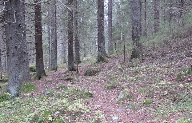
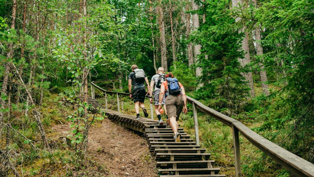
Karhunahas is located in Töysänperä, Petäjävesi. The place is an ancient haunt of bear hunters, where they would run and trap the bears in a cave in the canyon. It is an impressive and rugged piece of ancient forest with a ravine, through which, at its foot, a tranquil river runs. There is a signposted 600 m path to Karhunahas with boardwalks.
The Muuramenjoki River runs from Lake Muuratjärvi into Lake Päijänne through the Muurame municipal centre. Muuramenjoki River is 1.5 km long with gentle rapids and a height difference of 12 metres. Muuramenjoki River is also very popular among anglers.
Tamppi Trail is a 3 km nature trail running through Teerinjärvisuo bog in the southwestern part of Petäjävesi. The trail leads through a mire growing miniature pines and thickets to the campfire place by Lake Teerijärvi. Teerijärvensuo is a habitat where internationally significant research on the mating of the black grouse has been conducted.
Laajavuori Nature Trail is located in the Laajavuori ski and outdoors resort and runs through a varied forest terrain. Approx. 4 km long, the trail runs mainly through spruce forests, with rocks and small bogs adding interesting variation. The path was serviced and realigned to run along a more attractive and safer route on the western side of the ski slopes.
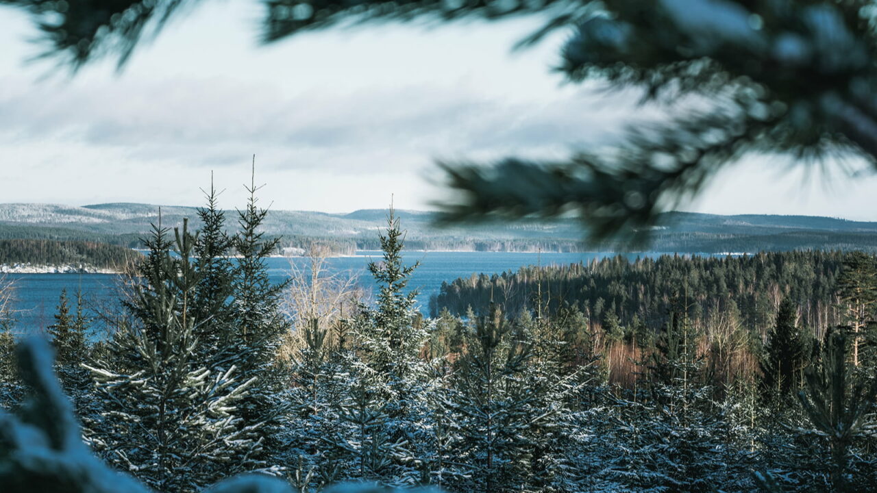
The Multamäki Nature Trail is located on the western slope of Multamäki hill, which stands on the northeastern shore of Lake Peurunkajärvi, in the northeastern part of Laukaa. The 2,3 km trail leads to the top of Multamäki hill with sweeping views out over Lake Peurunkajärvi.
Nyrölä Hiking Trail runs through a varied forest landscape and on the marshy shores of Lake Iso-Musta. The trail also runs past the artificial pond of Saparo. The hiking trail is 3.6 km long, and its high point is an island with a lean-to shelter, which can be reached by crossing the dark waters of Iso-Musta via a cable ferry.
The Oravivuori trail leads to the top of Oravivuori hill in Korpilahti’s Puolakka, where one of the survey points of the famous Struve Geodetic Arc, part of the UNESCO World Heritage List, is located. The impressive observation tower on the summit of the hill is a sign of the significance of Oravivuori, and Puolakka measuring station, in the mapping of Finland. The views from the observation tower out over Lake Päijänne are beautiful. The path leading to the top of Oravivuori is about 1 km long and the rocky slope is quite steep in places, but there are benches along the way where you can rest. There is an outdoor toilet at the property, but remember to bring your own toilet paper.
Jääskelä Nature Trail leads to lush herb-rich forests and rugged open cliffs and pine forests. The trail is 5 km long and offers stunning views out over Lake Päijänne. The route ascends to the top of Sammalistonkallio.