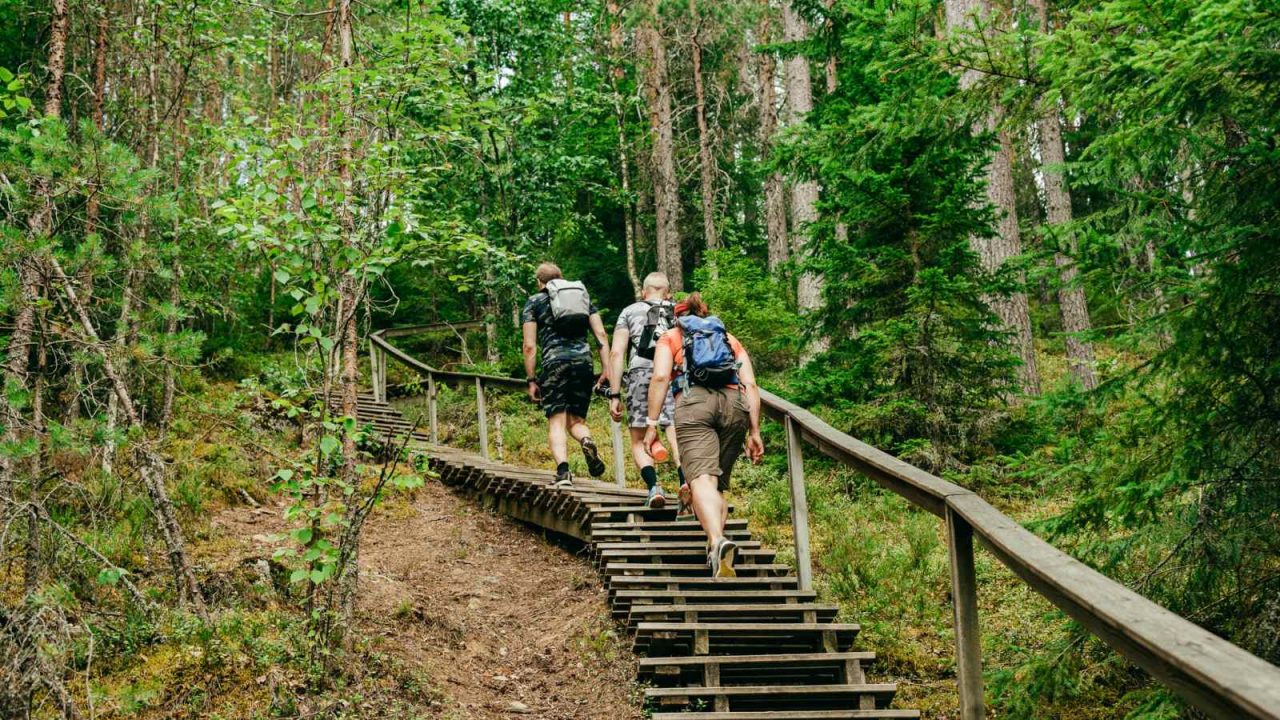
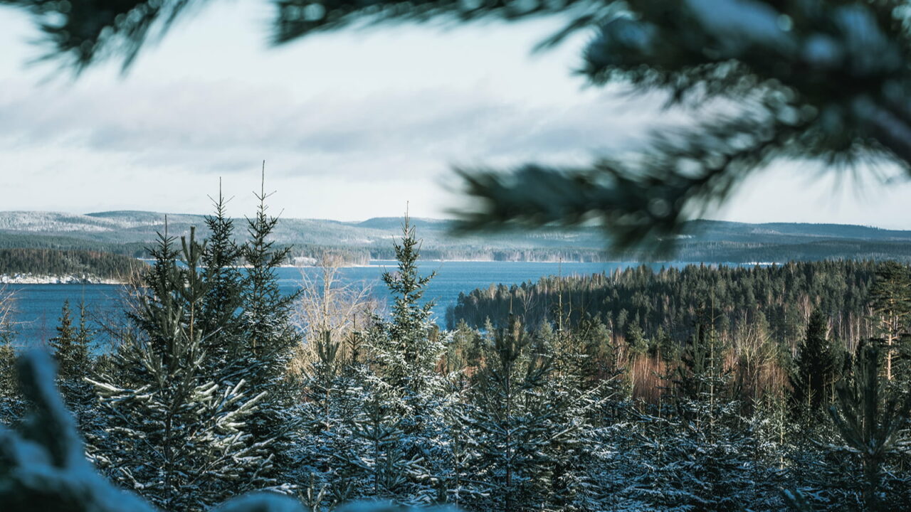
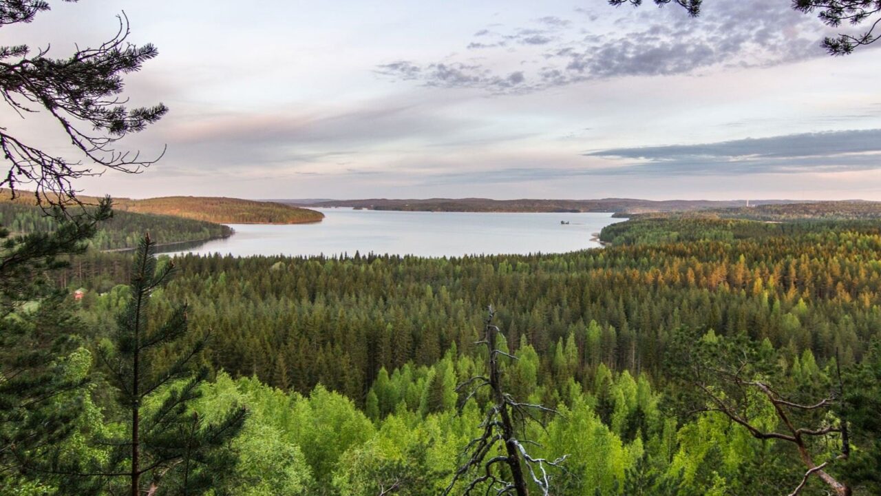
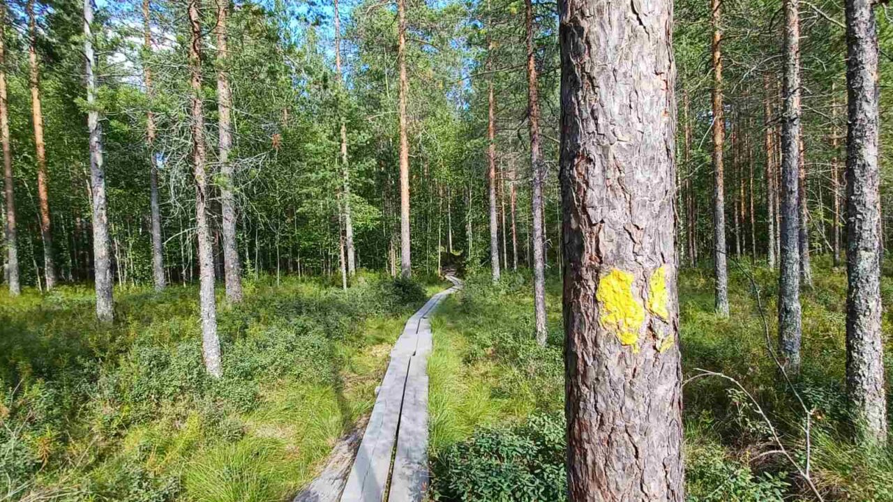
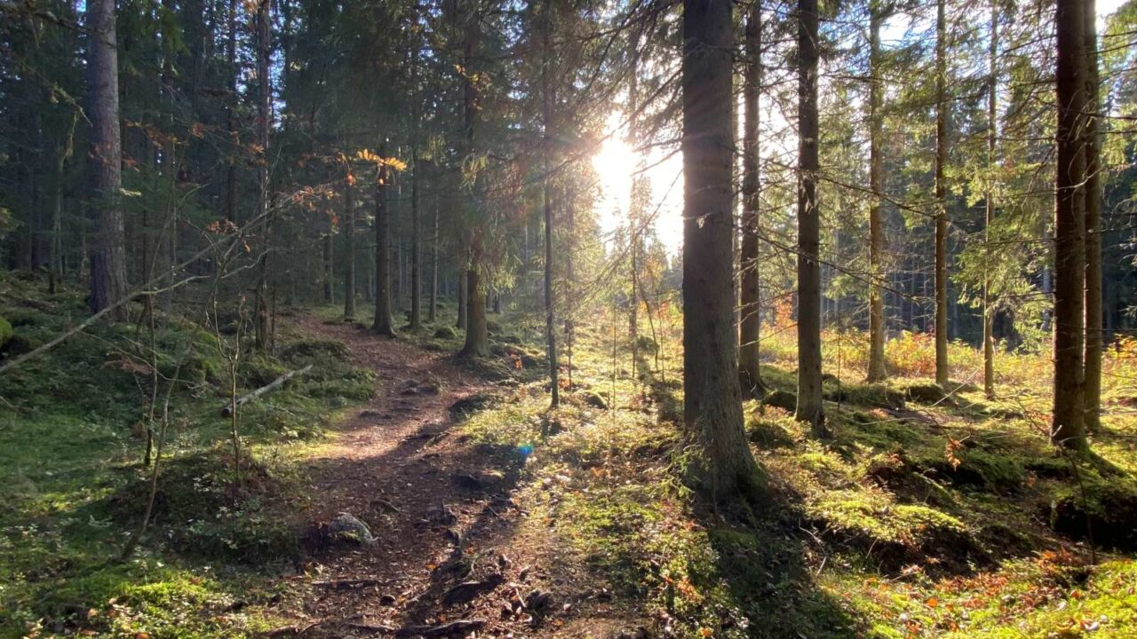
The Multamäki Nature Trail is located on the western slope of Multamäki hill, which stands on the northeastern shore of Lake Peurunkajärvi, in the northeastern part of Laukaa. The 2,3 km trail leads to the top of Multamäki hill with sweeping views out over Lake Peurunkajärvi.
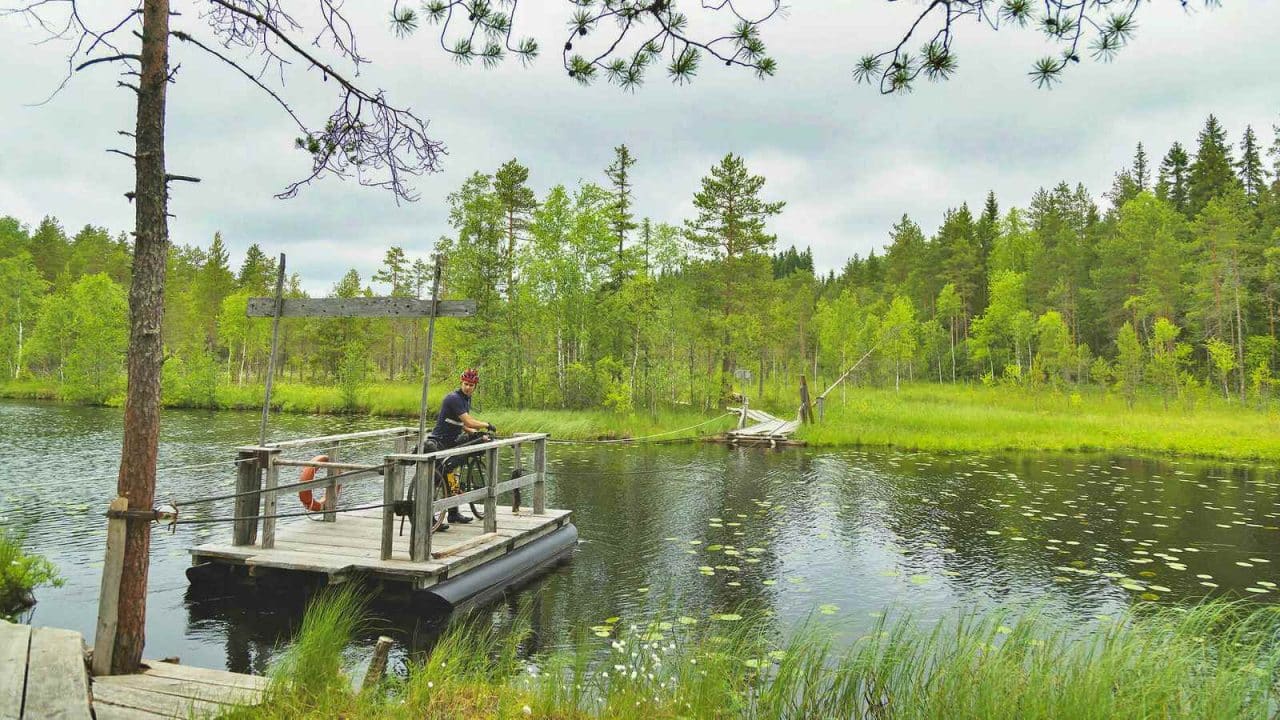
Nyrölä Hiking Trail runs through a varied forest landscape and on the marshy shores of Lake Iso-Musta. The trail also runs past the artificial pond of Saparo. The hiking trail is 3.6 km long, and its high point is an island with a lean-to shelter, which can be reached by crossing the dark waters of Iso-Musta via a cable ferry.
The Oravivuori trail leads to the top of Oravivuori hill in Korpilahti’s Puolakka, where one of the survey points of the famous Struve Geodetic Arc, part of the UNESCO World Heritage List, is located. The impressive observation tower on the summit of the hill is a sign of the significance of Oravivuori, and Puolakka measuring station, in the mapping of Finland. The views from the observation tower out over Lake Päijänne are beautiful. The path leading to the top of Oravivuori is about 1 km long and the rocky slope is quite steep in places, but there are benches along the way where you can rest. There is an outdoor toilet at the property, but remember to bring your own toilet paper.
Jääskelä Nature Trail leads to lush herb-rich forests and rugged open cliffs and pine forests. The trail is 5 km long and offers stunning views out over Lake Päijänne. The route ascends to the top of Sammalistonkallio.
Rising to a height of almost 200 meters, the steep-walled bare rock Kanavuori is an impressive sight. From the top of the hill there are magnificent views over Lake Päijänne and Lake Leppävesi, as well as over the culturally and historically valuable Naissaari area.
Kangasvuori Nature Trail is located in the eastern edge of the city, near the residential areas of Kangasvuori and Huhtasuo. The 3 km trail runs through the forested landscape of Kangasvuori. Vuorilampi with its pretty shoreline adds interesting variety to the forest landscape.
Haapasaari is a narrow island approx. 1 km long, connected to Haapaniemi peninsula in Vaajakoski. The highest point on the island is 25 metres above the water level of Lake Päijänne. The nature trail runs 2.7 km around the island through the herb-rich coastline and deciduous forests and ascends to the highest point covered with rocky pine forest.
Touruvuori Nature Trail is located near the residential area in Palokka. The nature trail introduces local forest, rock and bogland habitats and leads to the top of Touruvuori hill with beautiful views out over the area. The total length of the trail is approx. 3 km. You can also turn back from the top of Tourunvuori, in which case the total length of the trail is 2 km.
Sippulanniemi Nature Trail in Kuokkala meanders 4 km through a varied forest landscape between the Ristikivi residential area and golf course. The wildlife along the path is rich with different habitats: moist spruce forests, mixed forests, rocky pine forests and alder-dominated herb-rich forests. There is also a large and diverse bird population in the area. The trail runs around Niemijärvi bog, with a small mire lake visible from the nature trail.